


As it winds from Texas’ Guadalupe Mountains National Park up to Canada’s Grassland National Park, the 2,200-mile Great Plains Trail brings the rugged reality of an oft-stereotyped region into clear view.
“It’s not cornfields,” explains Luke “Strider” Jordan, the only person known to have thru-hiked the trail, which cuts across unmapped canyons and springs, forested ridges, vast desert, and abandoned outposts and ghost towns.
Traversing six national parks and monuments, 10 national forests and grasslands, five state high points, and 15 state parks, the Great Plains Trail (GPT) is not for the faint of heart. It requires map-reading skills and serious stamina over long, sunny stretches, often on backcountry roads—which connect public lands.
“In most cases,” says Jordan, “there are no markers at all; sometimes there are no road signs.” Hikers must study maps and have reliable GPS. “It takes a lot of planning. If you don’t prepare, you can expect to get lost.”
This begs the question: Is the Great Plains Trail—a path 10 miles longer than Appalachian National Scenic Trail, the longest hiking-only footpath in the world—even a trail at all? The answer is yes, but it’s still in its infancy. In many areas, the route represents ambitious planning more than traditional pathways. As it stands now, this network of long-standing trails and existing roadway is easier to imagine than it is to navigate.
The impact of more trails
The United States has a dense web of established long-distance regional trails, but the GPT (along with its Pilot Trail) marks a first for the country’s Great Plains, bringing opportunity to a region often overlooked by outdoor enthusiasts.
“Trails allow many of the most common recreation activities to exist,” says Mike Passo, executive director of American Trails, a U.S. nonprofit that works on trail and greenway development. “With the presence of more trails, more people from all walks of life are getting outside.” He adds that trails create more attractive, safer communities, increase property values and tax revenues, and connect assets, people, and places.
Additional trails could also mean greater sustainability for all trails, as some of America’s most beloved treks suffer from overuse and mismanagement. The number of northbound thru-hikers on the Appalachian Trail has been climbing by roughly 10 percent each year since 2010; in just six years, permits for the Pacific Crest Trailincreased over 400 percent.Developing new offerings like the Great Plains Trail could help alleviate the surge of travelers eager to get outdoors, provide recreational alternatives to locals, and introduce hikers—and their wallets—to different communities and ecosystems.
Hiking the Pilot Trail
The Pilot Trail begins atop South Dakota’s Bear Butte, or Mato Paha in Lakota. Ribbons of fabric and tobacco bundles hang from the trees reminding hikers this is sacred Indigenous land. From the butte’s summit, bison-skull markers—reliable until they’re not—guide south-chasing backpackers through miles of the state’s ponderosa pine forests and chuckling creeks before leading to Custer State Park and Wind Cave National Park, one of the longest and most intricate cave mazes in the country.
The GPT then meanders across mini canyons and open ranchlands, leading to old railroad towns and the occasional cistern for the parched and weary. As the trail winds further southward into Nebraska, vistas get longer and lonelier before reaching the forested buttes of Pine Ridge National Recreation Area and the rugged badlands of Scotts Bluff National Monument.
“The trail is for hikers who want a genuine adventure,” says Myers, “that many others will have a hard time grasping.” So far only two individuals are known to have thru-hiked the Pilot Trail since its 2016 debut.
Along the way, there are a lot of road walks, too. Currently, these connectors make up 80 percent of the trail. They’re “especially enjoyable” around Scotts Bluff, the southern terminus of the Pilot Trail, says Jordan. The vast majority of the GPT’s road walks are unpaved, backcountry roads that see “fewer than 10 cars, maybe, a day,” he adds. Although hardly ideal, they maintain one of the best qualities any good hiking trail can offer: serenity. For safety’s sake, Jordan says it’s a good idea to hike the trail with a partner or in a small group.
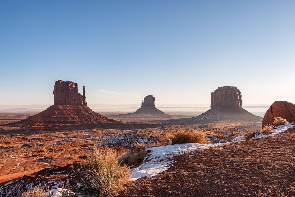
Beyond the Pilot Trail, several segments keep hikers’ eyes, minds, and feet especially busy. The 9,000-foot summit of Guadalupe Mountain in Guadalupe Mountains National Park—a 3,000-foot trek up above the Texas desert—leads to incomparable views of the world’s most extensive Permian fossil reef.
The 144-mile Maah Daah Hey Trail through North Dakota’s Theodore Roosevelt National Park and Little Missouri National Grassland surprises trekkers with open plateaus, soaring peaks, and verdant valleys. Black Mesa Trail, Oklahoma’s highest point, spans several prairies, canyons, and volcanic tablelands at just shy of 5,000 feet, before spilling over the New Mexico state line.